
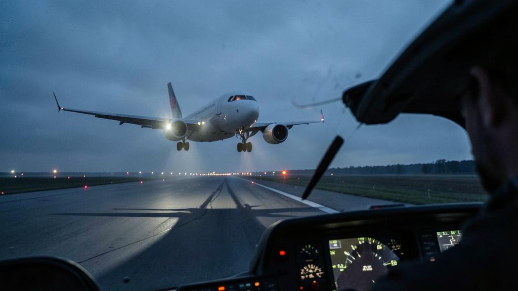
On a very cold morning, a flight management computer tracking a barometric vertical path does everything correctly and flies the aeroplane lower than the chart intends. Nothing has failed. The deviation scale is centred, the path angle is exactly the published one, and the aircraft is physically below where the procedure designer put it. The reason is that a barometric altitude is not a height, and the difference between the two is a function of temperature that grows as you climb away from the altimeter setting source.
An altimeter measures pressure and reports a fiction
A pressure altimeter measures static pressure and converts it into a number using one fixed assumption: that the atmosphere below it behaves like the International Standard Atmosphere. It has no thermometer, no knowledge of the actual air column, and no way of discovering that the assumption is wrong.
The conversion depends on air density, and density depends on temperature. In air colder than standard, the column is denser, pressure falls off more quickly with height, and a given pressure level is reached at a lower true height than the standard model predicts. The instrument, reading only pressure, reports the standard-model answer. It over-reads. The aeroplane is lower than the number.
The old memory aid, from high to low, look out below, covers both the pressure case and the temperature case, and it is correct in direction. What it does not convey is the size of the error, which is the part that actually matters, and the fact that the error is not uniform through the descent.
The altimeter shows a “fictional” height based on standard air conditions, not the real height. In cold air, the actual height is lower than what the altimeter shows because the air is denser and pressure drops faster with altitude.
At an aerodrome with a standard temperature of 15°C, an altimeter might read 5,000 ft when the true height is 5,000 ft. But if the temperature is -15°C (30°C below standard), the same pressure might correspond to a true height of only 4,400 ft. The altimeter over-reads by 600 ft in this case.
The error grows with height above the setting source, not with altitude
This is the point that gets lost most often, and it decides where in an approach the problem bites.
The altimeter is set to a QNH derived from a known elevation, normally the aerodrome. At that elevation the instrument is, by construction, correct: whatever the temperature, the setting forces agreement at the reference point. The error is zero there and accumulates with every foot of air column above it, because it is the properties of that column that differ from the standard model.
So the quantity that drives the correction is not the altitude above mean sea level. It is the height above the altimeter setting source. An aerodrome at 6 000 ft elevation with a minimum sector altitude at 9 500 ft has 3 500 ft of affected column, not 9 500. A sea-level aerodrome with an intermediate segment at 3 000 ft has 3 000 ft of it. The high-elevation aerodrome is not automatically the worse case; the aerodrome with the long descent inside the terminal area is.
The temperature that drives it is the one at the setting source as well, not the outside air temperature at the aircraft. That is convenient, because the aerodrome temperature is the one being broadcast, and it is also the one the procedure designer used.
A path is an angle, and cold air makes it shallower
Now put the two facts together on a final approach segment, because the consequence is not simply « everything is a bit low ».
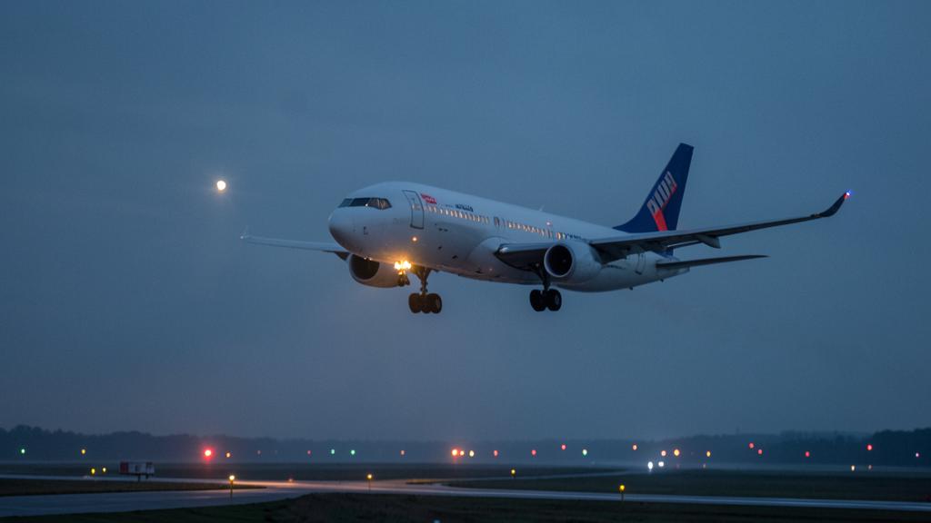
A barometric vertical path is defined by a published vertical path angle anchored to a crossing height at or near the threshold. The computer builds that path in barometric altitudes and flies the aircraft onto it. Because the error is zero at the setting source and grows with height, the compression is not uniform: the far end of the path, high above the aerodrome, is pulled down a lot; the near end, a few tens of feet above the threshold, is barely moved at all.
The path is therefore not translated downwards. It is rotated. The angle actually flown across the ground is shallower than the published one, and the shortfall grows steadily along the segment: negligible over the threshold, greatest where the aeroplane is highest, at and before the final approach fix. That is the end of the segment where a low intercept is hardest to notice, because there is nothing outside to compare it with.
A worked case makes the scale concrete. Take a three-degree path, a final approach fix about five nautical miles out at roughly 1 600 ft above the aerodrome, and an aerodrome temperature thirty degrees below standard. The rule of thumb below gives a correction of about twelve per cent of the height above the source, so around 190 ft. The aeroplane crosses the fix at a true height near 1 410 ft rather than 1 600 ft, and the path actually flown across the ground is nearer 2.6 degrees than 3.0. The visual tell arrives on schedule: a correctly flown barometric path in genuinely cold air shows low on a serviceable precision approach path indicator, because the light units project a geometric beam and do not care what the atmosphere is doing.
The trap. Reading a centred vertical deviation as proof that the aeroplane is where it should be. The deviation indication compares the aircraft to a computed barometric path, and both sides of that comparison contain the same temperature error. A centred needle in cold air tells you the computer is consistent with itself. It says nothing about the distance to the ground.
The rule of thumb, and where it stops being enough
The working approximation used across the industry is about four per cent of the height above the altimeter setting source for every ten degrees Celsius below standard at that source. It is easy to apply mentally and it is adequate for anticipating the size of a problem.
| Height above setting source | ISA minus 10 | ISA minus 20 | ISA minus 30 | ISA minus 40 |
|---|---|---|---|---|
| 500 ft | 20 | 40 | 60 | 80 |
| 1 000 ft | 40 | 80 | 120 | 160 |
| 2 000 ft | 80 | 160 | 240 | 320 |
| 3 000 ft | 120 | 240 | 360 | 480 |
| 5 000 ft | 200 | 400 | 600 | 800 |
Two cautions attach to that table. First, it is a linear approximation of a relationship that is not linear, and it diverges from the published values as the deviation and the height both grow; the correction tables in PANS-OPS are the applicable figures and they are what an operator’s charts and quick reference material are derived from. Second, the approximation is for estimating and cross-checking, not for constructing a minimum altitude to fly. When a corrected altitude is going to be flown, it comes from the published table or from an approved computation, and it is rounded upward.
The published minimum temperature is a limitation, not advice
Where the procedure is built to the ICAO design criteria, a chart offering LNAV/VNAV minima is promulgated with an aerodrome temperature limit, normally a minimum and sometimes a maximum as well. That limit is not a comfort note. It is the boundary of the obstacle assessment.
The procedure designer knows that a barometric path sags in cold air, and builds an allowance for it into the obstacle clearance of the final segment. That allowance is computed for a specific temperature, normally derived from the coldest conditions recorded at the aerodrome. Below the promulgated minimum, the allowance is exhausted and the obstacle assessment underpinning those minima no longer stands. The procedure has not become slightly less comfortable; the margin it was certified with is gone.
The operational consequence is binary. Below the published minimum temperature, the barometric vertical minima are not available, unless the aircraft has an approved temperature compensation function and the operator is approved to use it in that way. What remains is the lateral-only line of minima, flown as a non-precision approach with the crew applying corrections to the published altitudes, or a different approach type altogether.
What is compensated, by what, and what is not
Not every vertical guidance source has this problem, and mixing them up is a reliable way to correct something that needed no correction while leaving something that did.
| Source | Path reference | Sags in cold air | What still needs a correction |
|---|---|---|---|
| ILS or GBAS glide path | Geometric: a radiated beam, or a computed geometric path | No | Platform, intermediate and glide path intercept altitudes; the missed approach |
| SBAS vertical guidance, LPV | Geometric, referenced to the ellipsoid and geoid model | No | All barometric altitudes before the final segment, and the missed approach |
| Baro-VNAV, LNAV/VNAV minima | Barometric altitude and a path angle | Yes | The whole procedure, plus a promulgated minimum temperature |
| Advisory vertical guidance on LNAV minima | Barometric, and advisory only | Yes | Every published minimum altitude, corrected by the crew |
| Visual glide path indicator | Light beam, geometric | No | Nothing, which is why it disagrees with a cold baro path |
Where an aircraft carries an approved temperature compensation function, the computer applies the correction internally and displays or flies compensated altitudes. Three things then matter and all three are documented per type. What the function actually compensates, since some implementations address the final segment only. Whether its use is required, permitted or prohibited for a given procedure. And what the crew must do about the numbers on the chart, because correcting a value the system has already corrected produces a path that is too high, which on a busy arrival is its own problem.
The right reflex. Decide the cold-temperature question at the briefing, not at the intercept. One reading of the aerodrome temperature against the chart’s promulgated minimum settles which line of minima is available, whether the compensation function is in use, which altitudes are corrected and by whom, and what will be said to the controller. Any of that discovered inside the final approach fix becomes a distraction at the worst moment.
The segments outside the final approach, where the corrections are larger
The final segment gets the attention because it carries a published temperature limit. It is rarely the segment with the greatest error, because it is the one closest to the setting source. The larger numbers, and often the closer terrain, are further out.
| Segment or altitude | Why it is exposed | Consequence when uncorrected |
|---|---|---|
| Minimum sector and minimum safe altitudes | Large height above the source, terrain-derived | The published terrain margin is reduced by the full correction |
| Arrival and initial approach altitudes | Several thousand feet of affected column | Descent below the protected profile well before the fix |
| Holding altitude | Sustained, often over high ground | Reduced clearance held for a long time rather than for seconds |
| Intermediate segment and glide path intercept | Sets up the final segment | Early or low intercept, and a rushed configuration |
| Step-down fixes on a lateral-only approach | Each one is an obstacle-derived minimum | Margin lost at every step, cumulatively |
| Missed approach level-off altitude | Flown at low speed and high workload | Level-off below the protected altitude during the climb |
The missed approach deserves its own mention. It is the segment most often left uncorrected, it is flown when the crew is busiest, and its obstacle assessment is built on the same barometric assumption as everything else.
Telling the controller, and who owns a vectoring altitude
A correction applied silently to a level the controller assigned creates a difference between what the controller believes the aircraft is doing and what it is doing. The ICAO provisions are built around removing that difference: when a crew applies a cold-temperature correction to a level assigned by air traffic control, the controller is told, unless the State has published that such corrections are applied by the crew as a matter of course.
Radar vectoring altitudes are a genuinely different case, and one where local knowledge is not optional. The minimum altitudes a controller assigns during vectoring are derived from charts held by the unit, and States differ in whether a cold-temperature allowance is already built into those altitudes, whether the controller applies one, or whether the crew is expected to. The safe posture is to treat an assigned vectoring altitude in very cold conditions as something to be confirmed rather than assumed, and to say so on the radio rather than adjust quietly.
Where EASA and the FAA do not say the same thing
The physics is universal; the procedural answer is not, and presenting one State’s method as the global rule is a straightforward way to be wrong abroad.
The FAA approach is aerodrome-specific and published as a list. Individual aerodromes are identified as cold-temperature restricted, with a temperature threshold and an indication of which segments require correction, and the crew corrects those segments and advises air traffic control. The design is deliberately narrow: correct where analysis has shown it is needed, and leave the rest alone.
The European approach is more general. The obligation to account for low temperature effects on published minimum altitudes sits with the operator and the crew across the board, with the detail carried in the State’s aeronautical information publication and in the operator’s own procedures rather than in a single national list of aerodromes. Charts published to the European model carry the promulgated temperature limit for barometric vertical minima in the same way.
Both systems arrive at the same place when they are followed. Neither survives being applied from memory in the other’s airspace, which is why the briefing item is the local text and not the habit. Operators building or revising their cold-temperature procedures will find the practical detail worked through in the operational training material at formations.fl330.com.
The one-line version
Barometric vertical guidance flies a pressure surface, and cold air moves pressure surfaces closer to the ground. The computer is not wrong and the path angle is not wrong; the atmosphere has changed shape underneath both of them. The error is proportional to the height above the setting source, which makes it largest where crews look least, and the promulgated minimum temperature on the chart is the point at which the procedure designer stopped absorbing it for you.


Leave a Reply
You must be logged in to post a comment.