
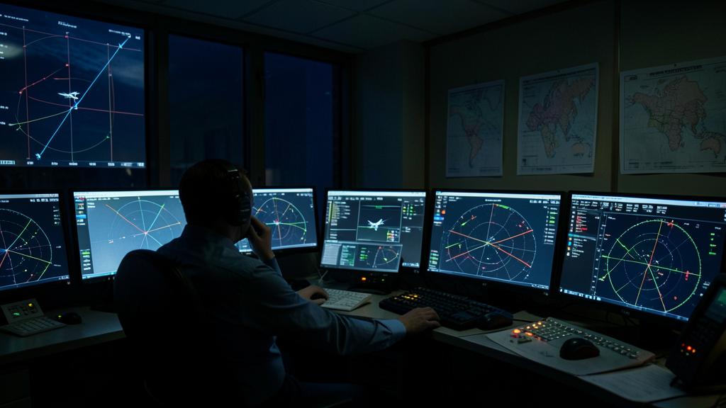
A serviceable altimeter on your own aeroplane says almost nothing about whether the vertical separation above flight level 290 can safely be halved. The regime rests on a claim about the whole population of aircraft flying up there — that its collective altitude-keeping error stays inside a very narrow envelope — and that claim has to be re-proved continuously or the separation is not justified. This is why performance monitoring exists, why it samples fleets rather than certifying individual aeroplanes, what the measurement is actually made of, and what happens to an operator when one of its airframes comes back outside the envelope.
What halving the separation actually bought
Between flight level 290 and flight level 410 inclusive, reduced vertical separation gives one thousand feet between aircraft where the conventional minimum gave two thousand. The arithmetic of that is worth stating plainly, because it explains the pressure behind the whole scheme: at two thousand feet spacing the band holds seven usable levels, at one thousand feet it holds thirteen. Nearly doubling the capacity of the most fuel-efficient part of the atmosphere is not a marginal gain, and it is why the regime spread worldwide despite the monitoring burden attached to it.
The burden is the price of the safety case. Above flight level 290 the altimeter is working in thin air, where a given pressure error translates into a larger height error than it does low down. Cutting the buffer in half while the measurement gets less precise is only defensible if somebody keeps proving that the measurement error is small — and the proof has to be about the traffic in the airspace, not about a laboratory.
The system works because all aircraft in the band must keep their altitude errors within a tight range. If even one aircraft drifts too far, the whole system could fail, so constant monitoring is needed to ensure safety.
A Boeing 787 flying at FL300 with a 100-foot altimetry error would still be within the safe envelope, but if 10% of the fleet had similar errors, the system’s safety margin would be compromised.
The risk is a population statistic, not an aircraft property
The airspace planning methodology behind the reduction is a collision risk model. It estimates how often two aircraft nominally separated by a thousand feet would actually occupy the same space, and it compares that estimate against a target level of safety — a maximum tolerable rate of fatal accidents per flight hour attributable to the loss of vertical separation, set by ICAO methodology and deliberately tiny.
Feed that model and it wants a distribution, not a number. It asks how the altitude-keeping error of the aircraft population is spread: where the average sits, how wide the scatter is, and how heavy the tails are. A single aeroplane with a perfect altimeter contributes almost nothing to the answer. A type with a small systematic bias affecting several hundred airframes contributes a great deal, even though no individual aircraft in that fleet would look alarming on its own.
That is the fact the whole monitoring programme is organised around, and the one most often misread on the flight deck. Monitoring is not an examination your tail number passes. It is a sampling exercise designed to detect population-level drift, and your airframe’s result is a data point in someone else’s distribution before it is a verdict on your aeroplane.
Decomposing the error: three quantities, two owners
The measurement separates cleanly into parts, and the separation matters because different organisations are responsible for each one.
| Quantity | Definition | Owned by |
|---|---|---|
| Altimetry system error (ASE) | Difference between the pressure altitude the aircraft displays and reports, and the true pressure altitude at which it is flying | The airframe: static system, air data computers, skin condition around the ports |
| Assigned altitude deviation (AAD) | Difference between the altitude the aircraft reports and the flight level it was assigned | The operation: autopilot performance, crew technique, level busts |
| Total vertical error (TVE) | Difference between the pressure altitude actually flown and the pressure altitude of the assigned level. In practice the sum of the two above | Both — this is what the collision risk model consumes |
The split is the useful part. A fleet whose total vertical error is drifting because of altimetry system error has an engineering problem, and it will be fixed in a hangar. A fleet drifting because of assigned altitude deviation has an operational problem, and no amount of static port work will touch it. Reporting the two together, as a single « height-keeping » figure, is how operators end up doing the wrong maintenance.
Why the criterion is a mean and a spread, never a maximum
The specification for altimetry system performance is not written as « no aircraft shall exceed X ». It is written as two constraints on a group of aircraft: a bound on the mean error of the group, and a separate, larger bound on the mean plus three standard deviations. Individual airframes carry their own limit as well, and the numerical values live in the minimum aircraft system performance specification and in the current criteria published by the regional monitoring agency — which are the ones that count, because they are revised.
The three-sigma construction is what makes it a fleet statement rather than a sample of anecdotes. Bounding the mean alone would allow a group whose errors cancel out on average while individual aircraft scatter wildly. Bounding only the worst case would penalise a well-behaved fleet for one damaged airframe. Constraining both the centre and the width forces the whole distribution into the envelope, which is precisely what the risk model needs and precisely what an individual pass or fail cannot tell you.
There is a practical corollary. Aircraft are grouped for this purpose by type and by altimetry system configuration, and a group is only meaningful if its members really do share the characteristics that drive the error. An aircraft modified in a way that changes its static system, or repaired in the region that shapes the airflow over the ports, may no longer belong to the group whose statistics were used to approve it.
The trap. The area of skin around the static ports is a controlled zone, not ordinary structure. Dents, waviness, a repair doubler, a filled scratch or simply accumulated paint thickness in that region change the local pressure field and therefore the altimetry system error — silently, with no cockpit indication whatever. Structural repair manual limits in that zone exist for aerodynamic reasons as much as structural ones, and treating them as ordinary damage tolerance criteria is how a compliant airframe walks out of the envelope.
How the height is actually measured
The measurement problem is that the aircraft’s own altimetry is the thing under test, so the reference has to come from outside it. Three methods have been used, and the third has changed the economics of the whole programme.
| Method | How it works | Practical character |
|---|---|---|
| Ground-based height monitoring unit | A ground installation tracks aircraft geometrically as they overfly a defined volume, and compares the tracked height with the reported altitude | Accurate, but requires the aircraft to route over a fixed site. Coverage-limited. |
| Portable GPS-based monitoring unit | Recording equipment carried in the cabin for a flight, giving geometric height that is post-processed against the reported altitude | Works anywhere, but has to be shipped, installed, flown and returned. Expensive per airframe. |
| ADS-B derived monitoring | The aircraft broadcasts both barometric altitude and geometric height; the pair is processed with meteorological data to yield the error directly | No dedicated hardware, no routing constraint. Continuous rather than sampled. |
The third method is why monitoring has moved from an occasional campaign to a background process. When every equipped flight yields a measurement, the sampling problem largely disappears, tails of the distribution become visible instead of being inferred, and a degrading airframe can be spotted from a trend rather than from a single periodic snapshot. It also means that monitoring data now exists whether or not an operator goes looking for it.
What the operator is actually obliged to do
Three obligations, and they are separable.
- The first is airworthiness: the aircraft must be approved for the reduced separation, which means the altimetry systems, altitude alerting, automatic altitude control and altitude-reporting transponder meet the specification, and the approval basis is recorded.
- The second is continuing airworthiness: the maintenance programme must contain the tasks that keep altimetry performance where the approval assumed it would be — pitot-static system integrity, air data computer configuration control, and inspection of the controlled skin area — and the continuing airworthiness organisation must actually own them rather than assume they arrive with the generic programme.
- The third is monitoring participation: a defined portion of each aircraft group must be monitored, and re-monitored on a recurring cycle. The classic formulation asks for a minimum number of airframes per group or a proportion of the group, whichever is greater, with repeat monitoring at an interval expressed in both calendar time and flight hours. The current numbers come from the regional monitoring agency for the airspace concerned — in Europe, the agency hosted by EUROCONTROL — and they are not the same everywhere.
The right reflex. Treat a monitoring result as a maintenance data source, not as a compliance receipt. A result comfortably inside the envelope but sitting consistently on the same side of zero, flight after flight, is a bias — and a bias is a defect that has not yet grown large enough to fail. Trending your own results against your own history finds the static system problem months before the criteria do.
What an out-of-tolerance airframe sets in motion
A result outside the criteria does not go to the flight deck. It goes to the monitoring agency, from there to the operator and the state of registry, and it starts an investigation the operator has to close.
| Finding | Usual line of enquiry | Typical outcome |
|---|---|---|
| One airframe outside, fleet inside | Static system leak check, port condition, skin survey in the controlled area, air data computer configuration | Rectification and re-monitoring. The aircraft may be flight-planned outside the reduced-separation band meanwhile. |
| Repeated offender after rectification | Deeper airframe survey, previous repairs, records of modifications affecting the static system | Removal from reduced-separation operation until resolved; approval status questioned |
| Several airframes of one type outside | Referred to the type certificate holder — design, service bulletin coverage, software standard | Service information, possibly an airworthiness directive; group statistics recomputed |
| Deviations without altimetry error | Autopilot behaviour, crew technique, level bust reports, air traffic clearances | Operational action, not maintenance action |
The commercial cost is worth naming, because it is what gets attention internally. An aircraft that cannot be flight-planned into the band flies lower, burns more, and may lose the routing it was scheduled for. That penalty falls on the operator immediately, while the safety benefit of the finding is diffuse and shared — which is exactly the incentive structure that makes independent monitoring necessary rather than voluntary.
The operational half: large height deviations
Altimetry error is only one of the two ways the model can be violated. The other is the aircraft simply not being at the level it was cleared to, and that half is captured by deviation reporting rather than by measurement campaigns.
Deviations beyond a defined magnitude — conventionally three hundred feet in this context — are reportable as large height deviations, and they are classified by cause: air traffic control clearance or coordination, crew action, aircraft equipment, and contingency events such as turbulence, a resolution advisory, or a weather deviation. The classification matters more than the count, because each category feeds a different part of the risk model and a different corrective action.
Contingency events deserve a specific note. Following a resolution advisory or leaving a level in severe turbulence is correct airmanship and it is also a height deviation; both things are true. Report it, classify it honestly as a contingency, and let it sit in the model as what it is. Suppressing those reports to keep a statistic clean corrupts the only dataset that describes how the airspace behaves under stress.
Where the approval frameworks are diverging
The two large systems are simplifying the paperwork in different directions, and assuming they are aligned is a live source of error for operators working across both.

The FAA has dropped the need for a separate authorisation where the aircraft meets the altimetry requirements and carries qualifying ADS-B Out equipment, on the reasoning that continuous broadcast data lets the agency observe height-keeping performance directly rather than infer it from a periodic approval process. The European system has kept a specific approval route in its air operations rules while drawing on the same ADS-B derived measurements for its monitoring. The underlying technical requirements have not diverged; the administrative route to demonstrating them has. Check the text applicable to your own certificate and your own state of registry rather than the one you read last, and treat operations across a boundary as two separate compliance questions. Working practice on this is discussed by the community on the FL330 professional forums.
What has not changed anywhere is the logic underneath. The thousand feet exists because a distribution stays narrow. Keep the distribution narrow and the levels stay available; let it widen quietly, one paint layer and one uncorrected bias at a time, and the argument for the separation dissolves — not for one aeroplane, but for everybody flying in the band.


Leave a Reply
You must be logged in to post a comment.