
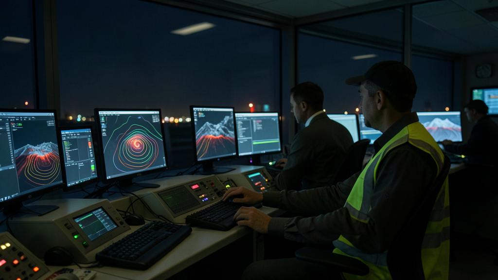
An ash advisory falls during the night: a plume drifts toward the southeast and cuts the route of three rotations of the day. The map gives a contour and level slices, not a prohibition. Between this contour and a signed flight plan, there is work that no one does in place of the operator — and it is exactly this work that the authority asks to see written.
What the model calculates, and what it does not calculate
A volcanic ash advisory center measures nothing. It runs a dispersion model, most often of the Lagrangian type: digital particles are released above the crater, advected by the wind field of a numerical forecast model, dispersed by a turbulence term, sedimented according to their size, and washed out by precipitation. The raw result is not a map, it is a mass concentration field, by grid cell, by altitude slice, and by time step.
This field is continuous; the disseminated product is discrete. A contour, level slices, a few successive deadlines separated by a few hours. The transition from one to the other is a thresholding operation: the limit is drawn where the modeled concentration exceeds a reference value. Move the value, the contour moves. First thing to integrate, therefore, before any discussion on thresholds: the line drawn on the map is not the physical edge of the cloud, it is the geometric locus where the model crosses a convention.
What the model does not calculate is the eruption itself. The height of the column, the mass flow rate at the source, the grain size, and the duration of emission are inputs. They are estimated from a nearby weather radar if one exists, a satellite image, sometimes a visual observation reported by a volcanological observatory, then the column height is converted into a flow rate by an empirical relationship. The bulk of the uncertainty of the final product lies there, in the very first hours and in these few numbers, not in the physics of transport.
The model doesn’t measure ash directly – it simulates how ash would spread based on wind patterns and eruption estimates. The lines on the map aren’t exact edges, just where the model says concentration reaches a certain level. The biggest uncertainties come from estimating how much ash is actually being released at the start.
During the 2010 Eyjafjallajökull eruption, a Boeing 747-400 encountered ash at FL350 over Europe. The crew noticed a sulfurous smell and St. Elmo’s fire on the windshield. They reduced thrust, descended to FL250, and diverted. Post-flight inspection found ash deposits in engines and air intakes, requiring 48 hours of maintenance.
Uncertainties that stack up, from the crater to the contour
The relationship between column height and mass flow rate is steep: the height varies as a fractional power of the flow rate, which means that in the opposite direction, a moderate error in the observed height translates into a flow rate interval that is counted in factors. To this is added an unknown rarely discussed in the preparation room: the fraction of fine ash actually likely to travel far. Almost all of the emitted mass falls back nearby; what reaches the air routes is a residue, and the estimation of this residue carries its own uncertainty.
Then comes the vertical distribution of the emission. A plume does not inject its mass uniformly over the entire height of the column; there is a level of neutral buoyancy around which most of it spreads. The model must make an assumption. Then the wind: the error of the predicted field grows with the deadline, and a plume advected for an entire day accumulates a lateral offset that is no longer negligible. That is why we run sets of perturbed simulations rather than a single calculation — the cloud of outcomes informs better than a line.
Facing the model, observation. Infrared satellite imagery can distinguish a layer of silicate from a layer of water by the difference in brightness between two channels: ash and water do not absorb in the same direction. The method is robust but blind in several cases — ash masked by a cloud layer above, particles covered with ice, layers too thin, night, and low angles. Ground-based lidar and ceilometer networks provide punctual vertical cross-sections, precious but local. None of these means frame the entire cloud: they constrain the model, they do not replace it.
| Parameter | Effect on the modelled field | Means of reduction |
|---|---|---|
| Column height | Determines the mass eruption rate by empirical relationship, and the flight level bands concerned | Nearby weather radar, volcano observatory, imagery |
| Fine ash fraction | Sets the mass actually transportable over long distances, hence the magnitude of concentrations | Past experience of the volcano, ground sampling, airborne measurements |
| Vertical distribution of the emission | Decides which layer drifts and which settles out quickly | Model assumptions, soundings, lidar cross-sections |
| Forecast wind field | Lateral position of the plume, increasing with lead time | Perturbed simulations, reanalysis at each cycle |
| Contouring threshold | The very position of the line: a convention, not a measurement | Reading the product with its guidance notes, not by guesswork |
The dose counts more than the instantaneous concentration
The destruction mechanism has been known since the major multiple flameout events that occurred in the 1980s, and it has not changed. The ash is a silicate glass whose softening temperature is below the temperature of the gases exiting the combustion chamber. Ingested, the particles melt, then solidify on the first parts they encounter that are colder: the high-pressure turbine distributor vanes. The deposit reduces the flow area. The compressor, which delivers into a narrowed section, sees its operating line approach the pumping limit. The rest is mechanical.
Alongside this rapid effect, there is the slow effect, and it is the one that governs the operating decision: the abrasive erosion of the compressor blades, the progressive obstruction of the turbine blade cooling holes — which degrades the creep resistance without signaling anything to the crew —, the attack of the thermal barrier coatings, the abrasion of the windshield, the clogging of the pressure ports. None of this is instantaneous. All of this accumulates.
Hence the notion that the engine manufacturers have placed at the center of their recommendations: the dose, i.e., the integral of the concentration over the exposure duration. Two practical consequences. The first: a brief crossing of a dense zone and a long flight in a thin layer can deposit the same mass of silicate, whereas a concentration criterion alone would only retain the first. The second: the dose accumulates from one flight to the next on a given engine, which imposes an accounting, therefore a traceability, therefore a disciplined recording of exposure times. An operator who records nothing cannot manage an intermediate zone, no matter the quality of their initial analysis.
It’s not just how much ash is in the air at one moment that matters – it’s the total amount your engines are exposed to over time. A short flight through thick ash can do the same damage as a long flight through thin ash. That’s why operators need to track how much ash each engine has been exposed to over multiple flights.
An A320 flying from Paris to Istanbul encounters ash at FL350 for 30 minutes with a concentration of 200 μg/m³. Another A320 on the same route flies through ash at FL250 for 2 hours at 50 μg/m³. Both flights receive the same “dose” of 3,000 μg/m³-minutes, requiring the same post-flight inspection.
A last lever is often underestimated: the engine regime. At high thrust, the gas temperature is higher and the deposit more effective. Reducing thrust in a suspicious atmosphere is therefore not a symbolic precaution, it is a direct action on the physical mechanism — the same quantity of ingested ash causes less damage at a lower turbine temperature. That is also why climbing into a contaminated layer is the worst choice.
The intermediate zone: what the operator must produce
After the 2010 Icelandic eruption, Europe introduced a division into zones of low, intermediate, and high contamination, with numerical values that circulated widely. It must be clear about their status: these values never had that of a physical constant. They served as a management convention, at a time when it was necessary to reopen an airspace without consolidated engine tolerance data. The doctrine has since evolved toward a clearer division: the advisory center delineates the presence of discernible ash, the State publishes what is closed, and the operator conducts its risk assessment for everything that is neither prohibited nor manifestly clean.
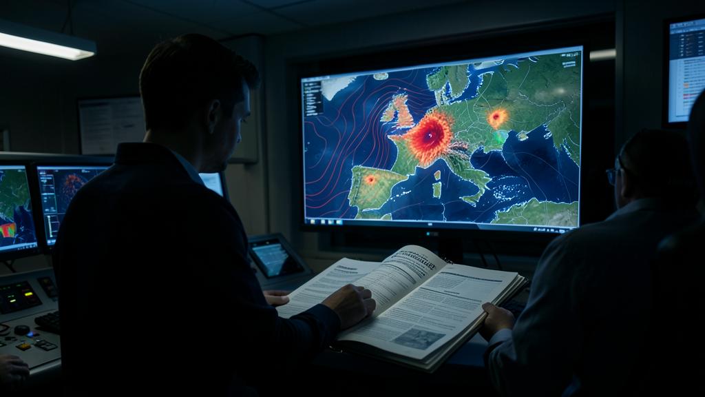
It is this last domain — the intermediate zone in the broad sense — that requires a file. A file, not a statement of intent. What it contains, in an organization that has already gone through the exercise:
- the written position of the engine manufacturer and the aircraft manufacturer: tolerance expressed in dose, recommended regimes, possible limitations on systems;
- the associated inspection program — pre- and post-flight inspections, endoscopy thresholds, removal criteria, examination of pressure ports and air intakes;
- the meteorological source retained, its refresh frequency, and the person who reviews it before each concerned departure;
- the decision criteria, expressed in operational terms and not in adjectives: which level slice, maximum exposure duration, in-flight decision deferral;
- the crew procedure, the associated briefing, and the conduct in case of unplanned encounter;
- the feedback loop: volcanic activity report, recording of exposure time, reinjection into the dose accounting and into the assessment itself;
- the interface with the authority and with the air navigation service providers, whose published zones remain enforceable regardless of the internal analysis.
| Regime | What the meteorological product says | What the operator must produce | What the crew does | After the flight |
|---|---|---|---|---|
| Hors zone | No discernible ash forecast on the route or at the levels used | Monitor the product, nothing more | Normal flight, alert to sensory cues | Nothing specific |
| Intermediate | Ash possible or forecast at low concentration, uncertain contour | Documented risk assessment, dose limits, inspection programme, decision criteria | Route and levels imposed by the safety case, controlled thrust, timing of exposure | Report, logging of exposure time, inspection per programme |
| Heavy contamination or closed airspace | Discernible cloud, zone published by the State | Nothing to produce: the constraint is binding | Avoidance, rerouting, diversion away from the plume | Observation report if the plume was seen |
Preparing the flight: read the valid advisory at the arrival time
An ash advisory has deadlines. A long-haul rotation crosses several of these deadlines, and arrival often occurs beyond the last available map at the time of the briefing. The most common and banal error is to decide based on the map at the departure time. You must decide based on the one that covers the estimated time of passage at each critical point: entry into the zone, point of no return, arrival, and especially arrival at the diversion airports.
The trap: treating the contour as a wall and the white of the map as a guarantee. A plume has no sharp edge; the trace results from a threshold applied to an uncertain field whose lateral position drifts with the wind error. Sticking to the limit to gain a few minutes is to bet on the precision of a line that no one has measured. And a diversion airport located under a layer forecast at the arrival time is not a diversion: it is a second exposure, chosen at the worst time, with less fuel.
The vertical strategy deserves to be considered calmly. A plume spreads in layers; the low-level detour costs in consumption and distance, the high-level detour is not always available in mass, and the passage above leaves little margin if the level must be left. On a flight with extended diversion distance, the question is doubled by another: do the airports that make the route acceptable remain usable over the entire concerned window? The answer conditions the route well before the dose considerations.
The right reflex: prepare the flight file with the advisory valid at the time of passage, not at the time of publication, and explicitly indicate in the briefing the time of the next expected update. On a flight that crosses a deadline, plan on the ground who reviews the refreshed product and by what means the crew is informed. A deferred decision is a good decision only if the necessary information arrives before the point where it becomes irreversible.
The ground is not off-topic. A maneuvering area covered with ash degrades braking action, and taxiing raises deposits that are ingested by the engines and the auxiliary power unit. On an affected airfield, the question of exposure does not start at takeoff: it starts at engine start, and it also applies to the aircraft left in parking, whose air intakes, pressure ports, and flight controls must be examined before any movement.
The unplanned encounter, and what to do after
The volcanic cloud is not signed on the onboard weather radar: the particles are too fine to return it. The signs are sensory and often nocturnal — sulfurous or electrical odor in the cabin, dry mist in the cockpit, St. Elmo’s fire on the windshield, glow in the air intakes, dust visible in the beam of the projectors. A rise in exhaust gas temperature without an explicable cause, a fluctuation in pressure indications, a depolarizing windshield, are late confirmations.
The conduct to be followed is always built around three ideas: reduce the gas temperature, exit the layer by the shortest path, protect habitability. Reduce thrust, do not climb, turn back rather than cross, start continuous ignition, equip the crew with oxygen, monitor engine behavior instead of stressing it. The detail is in the manufacturer’s procedure; the order of priorities, however, is the same everywhere.
The part that distinguishes a mature organization from another begins after landing. An encounter is recorded: entry and exit time, level, heading, duration, observed indicators, engine regime applied. These lines feed the dose accounting, trigger the inspection at the right threshold, and, when transmitted, improve the next advisory for everyone. The volcanic activity report is not paperwork: it is the only direct observation that a model will ever receive from inside the plume.
The type of operation shifts the cursor. A regular network has an engineering service, an engine manufacturer’s position obtained in advance, and a fleet history: the intermediate zone is managed by procedure, and the cost of an additional inspection is diluted over a fleet. On-demand operation, an isolated aircraft far from its base, a ferry flight, or an aerial work flight have neither the time nor the contact to build this file in the night; the only tenable decision is often the wide avoidance, taken early, because nothing will allow justifying after the fact a consented exposure. The reasoning shifts again for turboprops and helicopters: their operating levels are low, but they work near active structures, where the concentration is strongest, and where the deposit already on the ground is resuspended with each movement.
What you should go verify in your own documentation
Three points are worth opening before you need them. First, the question of whether your manual expresses the constraint in concentration or in dose: if it is in concentration alone, the accounting between flights probably does not exist, and the intermediate zone is managed on a case-by-case basis. Then, the articulation between what is enforceable and what is decided internally — a space closed by a State is suffered, an uncertain zone is analyzed, and confusing the two leads either to unnecessary immobilization or to a decision that will not hold up to the authority. Finally, the chain of refreshing information in flight: name the position that reviews, the channel used, and the maximum delay accepted.
There remains an assumed gray area, which is more honest to name than to hide: no concentration can be declared safe in the absolute. What exists are engine tolerances, exposure durations, inspection programs, and a formalized acceptance of residual risk. For those preparing a qualification or a position in flight preparation, this is where the subject becomes discriminating: you are not expected to recite a threshold value, but the ability to say where the contour comes from, what it is worth, and which pieces must be aligned to fly next to it. The resources of formations.fl330.com on operational meteorology address this reading of the products from the same angle.
This article describes a mechanism and a method of work; it does not replace the applicable text, the approved documentation of the operator, or the prescriptions of the manufacturer and the engine manufacturer, which prevail in all circumstances over what is written here.


Leave a Reply
You must be logged in to post a comment.